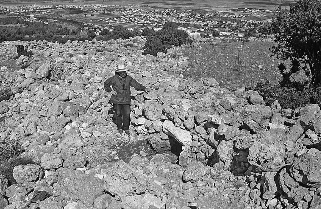
El-Ahwat, (“the walls” in Arabic) is a site of the Iron Age I period, situated above the stream of ‘Iron in the Manasseh Highlands, near the main route (“via maris”) connecting Egypt and the coastal plain with the Jezreel Valley and the north. It overlooks the Carmel ridge, the Coastal Plain, and the Samarian highlands. It’s located on high ground amid hills and Mediterranean thicket, away from water sources and agricultural land.


Research history
The site was discovered in 1992 and excavated for seven seasons from 1993 to 2000 by a Haifa University expedition, headed by Adam Zertal. The excavation revealed a fortified settlement with unique architectural features. El-Ahwat’s settlement was short-lived, lasting approximately 50-60 years or two generations.
A “Sea People” city or a typical village?
The excavations under Zertal have shown that the settlement began in the early Iron Age I period (13th-12th centuries BCE per Zertal) and was abandoned shortly after. After being deserted for over a thousand years, human activity was renewed with agriculture during the Late Roman period (3rd-4th centuries BCE).
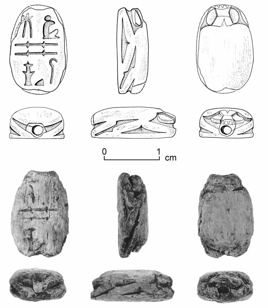
The pottery vessels found at the site are identical to the Iron Age I pottery from the highlands (sites such as Shiloh and Mt. Ebal). A thick and high wall was identified at the site, which according to Zertal, surrounded the settlement. Among the special finds are Egyptian scarabs.


The wall at El-Ahwat isn’t identical to any fortification excavated in the region. To explain the phenomenon, Zertal looked at examples abroad and drew similarities to the peculiar structures of the “Protonuraghe” culture of Sardinia. In the early Iron Age I, when the site was established, the “Sea People”, a wave of seafaring migrants embarked on the region. The most famous of these are the Phoenicians, and one of the groups is called Shardana. It was hypothesized that this tribe originated from Sardinia. Based on the architectural similarities, Zertal suggested that El-Ahwat was built by migrants from Sardinia.
Zertal also identified it concerning the biblical conflict between Sisera and Barak (Judges 4-5). Zertal suggests that the site may have been the city of Harosheth Haggoyim, mentioned in Judges 4:2 as Sisera’s place of residence. This however is just one of many identifications for that biblical place.
Alternative hypothesis:
- Firstly, Finkelstein noted that Zertal’s hypothesis relies on the shape of the wall. However, Finkelstein concluded that the wall isn’t a fortification and not even contemporary to the settlement. It was probably part of an agricultural terrace or fence, built long after the site was deserted, in Roman times or later.
- Secondly, all pottery vessels are indigenous to the region and have no foreign characteristics.
- Also, there were no Philistine finds at the site. If it was a site of the Shardana, it would be expected to have similarities in material culture to their fellow Philistines. The architecture of the settlement itself resembles sites from the north such as Tel Hadar, Tel Qiri, and Tell Keisan.
- It was further argued it is less probable to find a Sea People settlement in the highlands. It would be more likely to find one on the coast. Tel Akko is an example more fit to be a Shardana settlement.
- Lastly, there is no scholarly consensus about the origin of the Shardana. Some have claimed they migrated to Sardinia and gave the island its name, and not the other way around.
The revised date of the site according to Finkelstein and his colleagues is around the 12th-11th centuries BCE.
Sources
Stern, E. 2008. New Encyclopedia of Archaeological Excavations in the Holy Land 5 new-Israel Exploration Society
Finkelstein, Israel. El-Aḥwat: Israel Exploration Journal, A Fortified Sea People City? 2002, Vol. 52, No. 2 (2002), pp. 187-199
Biblical Hiking map

