

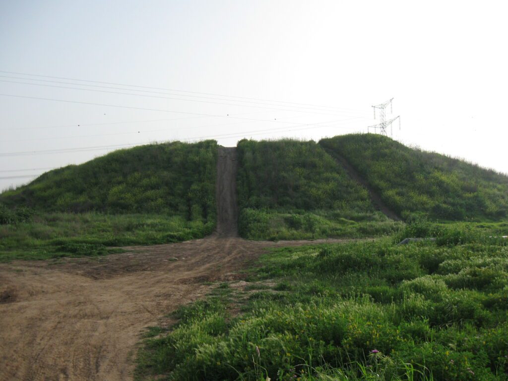
Location and Identification
Tel Zeror, also known as Khirbet et-Tell Dhurur, is located in the Sharon Plain, near the confluence of Nahal Iron and Nahal Haviva with Nahal Hadera. The site’s strategic importance was due to its proximity to the ford of the wadi on the western branch of the Via Maris.
History
Tel Zeror’s history spans several periods, including the Middle Bronze Age II, Late Bronze Age, Iron Age, and later periods. The mound was first settled in the Middle Bronze Age II (2000-1800 BCE).
Excavations
Excavations at Tel Zeror were conducted in the 1960s and 1970s by a Japanese expedition, uncovering remains from the Middle Bronze Age II to the Roman period.
Findings
Key findings include:
- Middle Bronze Age II fortifications, including two superimposed city walls, a moat, and a two-chambered tower.
- Late Bronze Age remains, including a coppersmiths’ quarter with connections to Cyprus.
- Iron Age settlement with a citadel and casemate wall, four-room houses, and a series of destructions attributed to Aramean and Assyrian military campaigns.
- Rich assortment of funerary offerings in cist tombs, including Philistine pottery and figurines of deities.
- Hellenistic farmhouse and Early Roman watchtower on the northern peak.
- Byzantine period settlement located south of the mound and Mameluke period Arab village on the southern peak.
Sources
Stern, Ephraim-New Encyclopedia of Archaeological Excavations in the Holy Land 4-Israel Exploration Society (1993)
Biblical Hiking map