

Location
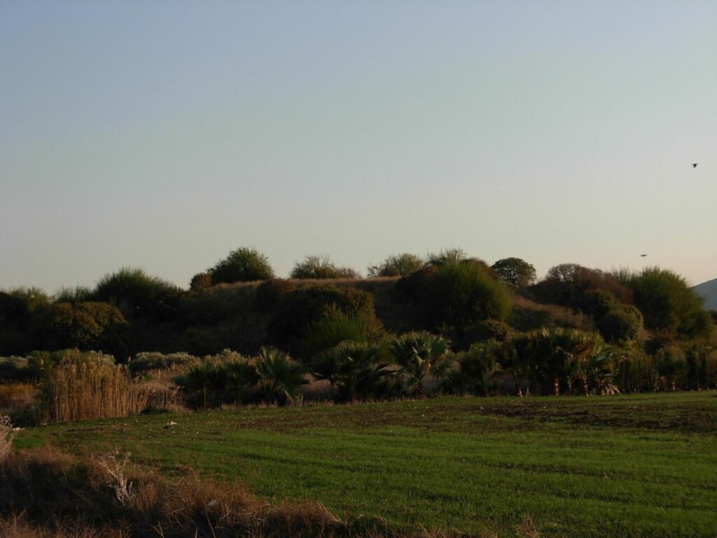
Tel Regev (Tell el-Harbaj) lies in the Zebulun Valley, near Kfar Hasidim, about 100 m south of Nahal Zippori and close to where the “Way of the Sea” crossed the Kishon. It is a round mound rising about 18 m above its surroundings.
Identification
Some scholars have proposed identifying the mound with Achshaph, a town in Asher whose king was among the Canaanite kings defeated by Joshua. Others place Achshaph at Tel Kison. The identification is uncertain. Achshaph is also mentioned in the list of Thutmose III, the Amarna letters and Papyrus Anastasi I.
History
The main period of settlement was the Early Bronze Age. Pottery from the Middle Bronze Age, Late Bronze Age and Iron Age was also found, as well as evidence from the Persian, Hellenistic, Roman and Byzantine periods. In 1749 Daher el-Omar fortified the mound, and in the 19th century a village named el-Harbaj stood on it.
Biblical Context
If the identification with Achshaph is correct: the king of Achshaph joined Jabin king of Hazor at the battle of the waters of Merom (Joshua 11:1–5), is listed among the defeated kings (Joshua 12:20), and Achshaph appears among the towns of Asher (Joshua 19:25).
History of Research
The site was recorded in the 19th-century Palestine Exploration Fund survey as el-Harbaj. During the Mandate period John Garstang excavated there, leaving a large excavation pit on the western summit. In 1993 a salvage excavation was carried out, yielding much Early Bronze Age pottery, published in ‘Atiqot 62.
Main Finds
Early Bronze Age. A large quantity of pottery from the 1993 excavation.
Surface sherds. Pottery from the Middle Bronze, Late Bronze and Iron Ages.
The Ottoman fortification. Remains of Daher el-Omar’s 18th-century fortification.
References
Biblical Hiking map
Found an error or missing information in this entry? Let us know.