

Location and Significance:
Achzib was strategically located on the Mediterranean coast, south of the Nahal Keziv estuary.
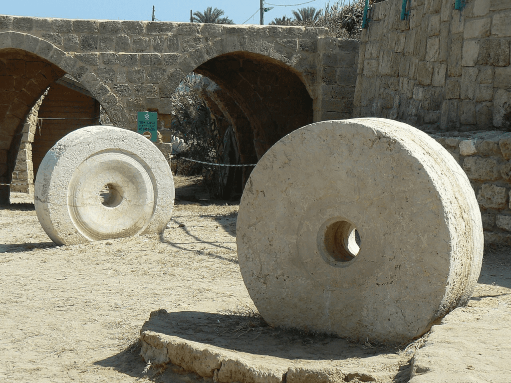
The ancient name of the site was preserved until 1948 by the village ez-Zib.
Its location along the Via Maris, a major ancient trade route, and its natural defenses contributed to the city’s development.
The city was protected by the Mediterranean Sea, a natural bay, the Nahal Keziv, and a fosse on the east.
Biblical and Historical References:
Achzib is mentioned in the Bible as a Canaanite city that the tribe of Asher failed to inherit.
Assyrian sources indicate that King Sennacherib of Assyria conquered Achzib during his campaign to Phoenicia and Palestine in 701 BCE.
Greek and Roman sources, including the historian Josephus, mention the city. Eusebius, an ancient historian, noted that Achzib was located on the road to Tyre, 9 miles from Acco.
Cultural and Community Significance:
According to the Tosefta, an ancient Jewish text, Achzib had a Jewish community and a synagogue.
Arab geographers described it as a fortified city, and during the Crusader period, it was known as Casali Umberti.
Excavations at Achzib:
Initial Excavations (1963-1964):
Directed by M. W. Prausnitz on behalf of the Israel Department of Antiquities and the Oriental Institute of the University of Rome.
Public buildings from the Hellenistic and Roman periods were uncovered.
A stela of the baetyl type was found, depicting a temple facade with a goddess. This type of stela is known from Punic colonies in North Africa.
Discoveries on the Mound:
Fortifications from the Middle Bronze Age were discovered, indicating the city was surrounded by a beaten-earth rampart.
Structures and installations from the Iron Age were found adjacent to the rampart.
Storerooms from the Iron Age and the Persian period were discovered, some of which had inscriptions indicating a royal function.
The Cemeteries:
Multiple cemeteries were excavated, revealing tombs from various periods.
The northern cemetery showed evidence of Phoenician funerary rites from the eighth to fifth centuries BCE.
The eastern cemetery had cist tombs from the Late Bronze Age and Iron Age shaft tombs.
The southern cemetery revealed rock-cut and built tombs with burial offerings and inscriptions.
Recent Excavations (1988-1990):
Directed by E. Mazar on behalf of the Institute of Archaeology at the Hebrew University of Jerusalem.
Further excavations in the southern cemetery revealed more shaft tombs and a variety of artifacts, including pottery, jewelry, and weapons.
A tomb from the tenth to seventh centuries BCE was discovered, containing dozens of skeletons and significant artifacts.
Biblical Hiking map