

Location and identification
Yotvata is the modern name of a small oasis located on the western edge of the southern Arabah Valley in the southern Negev , about 40 kilometers north of the city of Elath.). In Arabic it was called ‘EinGhadian, probably after the Saxaul bush , commonly found in the surrounding sands
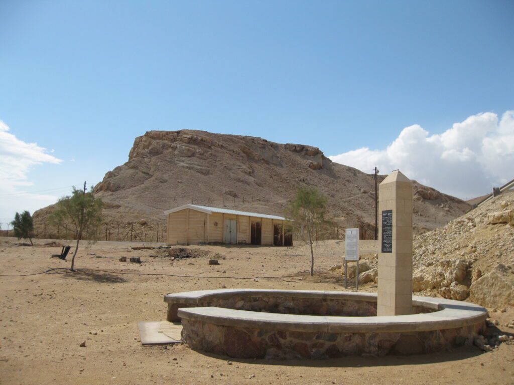
Iron age fortress hill
History
Historically known as ‘Ein Ghadian in Arabic, the oasis has been a focal point for settlement due to its water source and strategic location at a crossroads. The remains at Yotvata are categorized into four main groups: those related to water or agriculture, tombs, settlements or encampments, and remains associated with copper production. This includes chain-wells systems known as fugara or qanat, dating back to the Early Arab period. The excavated settlements span various periods including the Chalcolithic, Early and Middle Bronze Ages, the beginning of the Iron Age, and the Nabatean, Roman, and Early Arab periods.
Excavations
The history of exploration at Yotvata includes early twentieth-century descriptions of the “mother well” and the Roman fortress. Notable researchers such as A. Musil, T. E. Lawrence, F. Frank, and N. Glueck contributed to the early understanding of the site. In the 1950s, Glueck also investigated an early Iron Age fortress discovered by members of Kibbutz Yotvata. Since 1974, more systematic excavations have been conducted, directed by Z. Meshel and co-directed by B. Sass and E. Ayalon, on behalf of the Institute of Archaeology at Tel Aviv University. The site was re-excavated by Rothenberg and Erez Ben-Yosef in the 2000s.
Main Findings
A significant finding at Yotvata is an irregular casemate fortress from the Early Iron Age. Measuring approximately 50 by 76 meters, it was strategically built on a high steep hill that is isolated on three sides, forming part of the cliff that closes off the oasis from the west. The fortress’s plan is reminiscent of the “Negev Israelite fortresses,” although it predates them and was not part of their network. The casemate rooms of the fortress are characterized by their irregularity, varying in width and length. This fortress may have played a role in the copper trade, given its location near a significant crossroads.
The subsistence economy of the site included craft (metallurgy), agricultural activities, and animal husbandry, as evidenced by finds such as flint sickle blades, stone tools, and remains of domesticated animals. The Iron I Yotvata fortress is a single-stratum site, implying it was occupied for a relatively short duration. The evidence of fire in many casemate rooms and the discovery of complete vessels suggest that the site was not abandoned but rather destroyed in a violent action, possibly by a desert tribe.
Sources
Stern, Ephraim-New Encyclopedia of Archaeological Excavations in the Holy Land 4-Israel Exploration Society (1993)
Yotvata in the Southern Negev and Its Association with Copper Mining and Trade in the Early Iron Age
Lily Singer-Avitz